
An engineering professor is programming a satellite that will orbit Mars in search of ice underneath the planet’s surface.
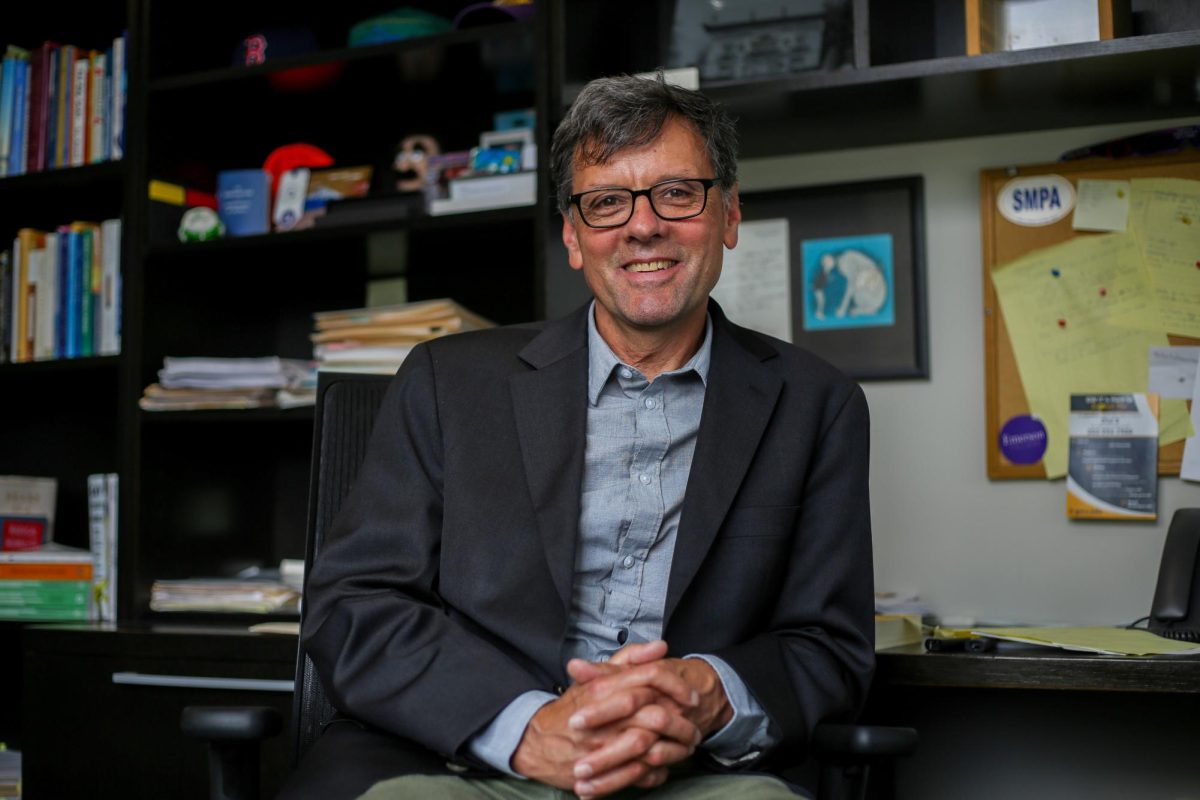
Roger Lang, a professor of electrical and computer engineering, said he received a $100,000 grant from NASA earlier this month to devise a mathematical model that will program a satellite to orbit Mars and find ice under the planet’s dust-like surface. Lang said if humans can discover water ice – ice made from vapor mixed with dust beneath Mars’ surface – its presence can indicate whether humans on Earth have the potential to settle on Mars.
“If they could locate water, then they could do two things,” Lang said. “They could have water to drink and to grow plants and other things like that, and they could make oxygen to breathe from water, so water is an important resource for any colonization of Mars.”
Lang said he hopes to inform NASA scientists how deep the satellite can detect ice within the Martian layer before they launch the satellite in 2028. NASA developed a “treasure map” locating potential areas that could contain water ice and serve as human landing sites.
Researchers from two universities reported in August that ice on Mars melted a few centimeters below the surface and could potentially support microscopic life, according to EarthSky, a daily radio series that discusses science and nature.
Lang said the research project is an international effort, including Canadian scientists who will build the satellite and NASA officials who will pay for the satellite’s launch.
“Various teams around the world are working on these problems,” Lang said. “They’re complicated problems, and so we like to come up with some design parameters for the radar, which have a good ability to see the ice.”
He said his team is currently using MATLAB, a digital programming platform engineers use to develop algorithms, to create the model that tests different electromagnetic wave frequencies and observe which levels can penetrate the Martian soil. He said if the electromagnetic waves bounce off the surface of Mars, that means the satellite has detected water ice.
Lang said the team will also consider the satellite’s different-sized antennas, which will emit the electromagnetic waves, in their calculations for the model. He said the antenna will be too close to the surface of Mars if it is too long, causing waves to collide with each other and skewing the data on the location of ice.
“If you get them too close, one pulse comes out, bounces around and comes back, and then the other pulse follows it,” he said. “If it comes back too early, it may interfere with the first pulses’ returns.”
Lang said his team will also analyze how rocks within the ice can scatter the signal from the satellite. He said researchers will spend the next six years testing all the different satellite and antenna designs.
“It takes a long time to do all of these designs and get all the finances and everything,” he said. “Then, the satellite has to be built which takes several years to test it and takes a long time to get to Mars, so these projects span generations.”
Jiaxing Yang, a third-year doctoral student in electrical engineering, said he is helping Lang create computer programs to compile the data on the different types of surfaces on Mars. Yang said previous research about Mars assumes similar roughness across the planet’s surface, but Lang’s work will consider the varying levels of topography on the surface, potentially including rocks, pores and ice.
He said if the team can find a method to discover ice deposits on Mars, researchers can then dig them out and learn more about the planet’s resources.
“If we can find more resources on Mars, it will be beneficial for everyone,” Yang said.
Experts in aerospace engineering said the inconsistent terrain on Mars’ surface could cause some difficulty in building a model to detect the ice but could help advance scientists’ understanding of the planet.
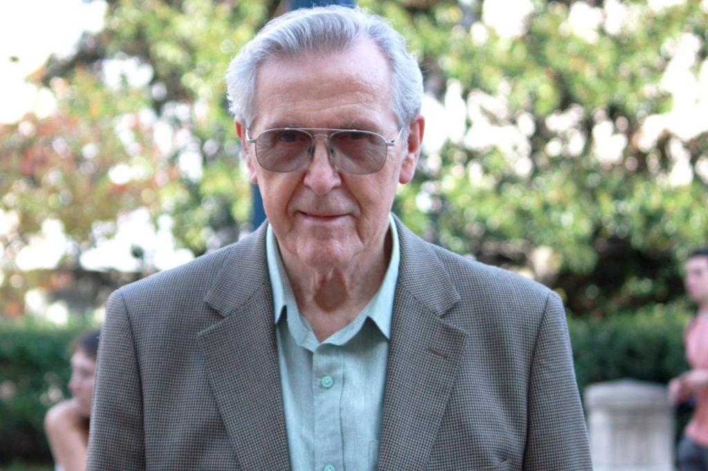
Ahmad Hoorfar, a professor of electrical and computer engineering at Villanova University, said Lang’s model accounts for the variability of Mars’ surface, with some areas dustier or rockier than others. He said the electromagnetic waves will first bounce off the top surface and then penetrate beneath the surface before detecting and bouncing off the water ice.
“You don’t know exactly the composition of the material,” Hoorfar said. “It could be a really rough surface, so that would be difficult to do.”
Nilton Renno, a professor of space sciences and engineering at the University of Michigan, said Lang’s research will help improve radar technology that can detect where brines, areas of water with high concentrations of salt, lie underneath the Martian soil. He said the research is “very timely” because detailed models of the Martian surface are essential for researchers to interpret the measurements that ground-penetrating radars collect.
“Besides helping us understand at what depths ice can be detected, they can also help us understand at what depths brines can be detected,” Renno said in an email. “Brines are essential for supporting possible bacterial habitats on frigid Mars.”
Suad Mohamed contributed reporting.